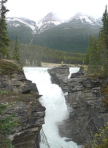
Thác Athabasca * được xếp vào 1 trong 30 thắng cảnh đẹp nhất thế giới
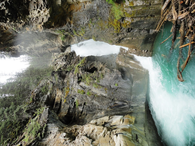
ánh sáng chiếu qua hơi nước thành cầu vồng
rung cả đá
thác Athabasca khu nước lặng
trở về điểm hẹn
đông đủ rồi
***************************

lá cờ Canada
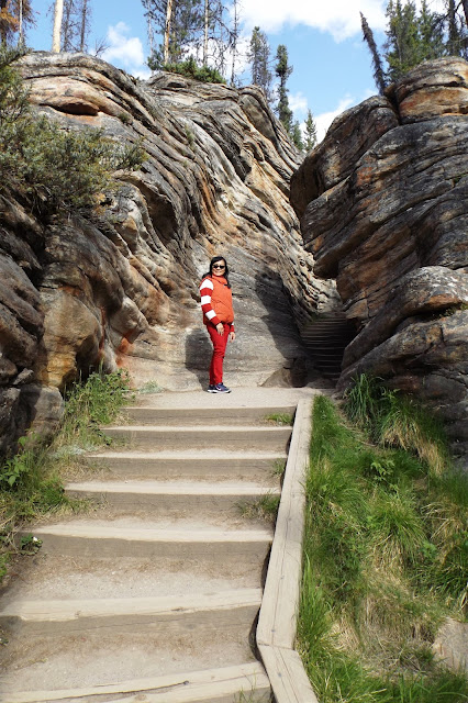
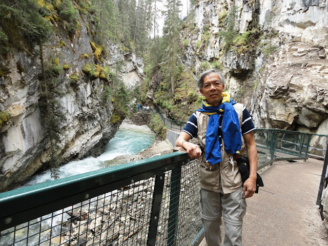
trước khi rời Johnston canyon
Au revoir
Johnston Creek (Alberta)
From Wikipedia, the free encyclopedia
| Johnston Creek | |
|---|---|
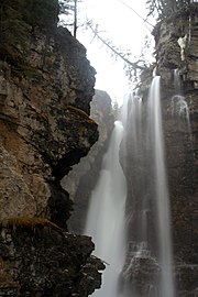
Upper Falls in Johnston Canyon
| |
| Country | |
| Basin | |
| Main source | Badger Pass, Pulsatilla Pass 2,500 meters (8,200 ft) 51.3938°N 115.9478°W |
| River mouth | Bow River 1,440 meters (4,720 ft) 51.2417°N 115.8544°WCoordinates: 51.2417°N 115.8544°W |
Johnston Creek is a tributary of the Bow River in Canada's Rocky Mountains. The creek is located in Banff National Park.
Course[edit]
Johnston Creek originates north of Castle Mountain in a glacial valley southwest of Badger Pass and south of Pulsatilla Pass, at an elevation of 2,500 meters (8,200 ft). The creek flows southeast between Helena Ridge and the Sawback Range, and then south through agorge known as Johnston Canyon. The stream empties into the Bow River, south of Castle Mountain, between Banff and Lake Louise, at an elevation of 1,440 meters (4,720 ft).
Johnston Canyon[edit]
As Johnston Creek approaches the Bow River, it flows through a large canyon formed by erosion over thousands of years. The creek has cut through the limestone rock to form sheer canyon walls, as well as waterfalls, tunnels, and pools.
A popular hiking trail follows the canyon and leads to a meadow within the Johnston Valley above the canyon. The first part of the trail consists of a constructed walkway with safety rails and bridges, while the last part of the trail is natural and more rugged. Within the meadow are the Ink Pots, which are six blue-green spring-fed pools.
Ice climbing is a popular activity on the frozen waterfalls in winter.
A tourist lodge and large parking area is located at the foot of the canyon, close to the creek mouth, along the Bow Valley Parkway(Highway 1A).
Gallery[edit]
See also[edit]
References[edit]
- Patton, B and Robinson, B. The Canadian Rockies Trail Guide. Devil's Head Press Ltd. Canmore. 1978. ISBN 0-9690806-0-3
**************************************************************
Athabasca Falls
From Wikipedia, the free encyclopedia
Athabasca Falls is a waterfall in Jasper National Park on the upper Athabasca River, approximately 30 kilometres south of the townsite of Jasper, Alberta, Canada, and just west of the Icefields Parkway. A powerful, picturesque waterfall, Athabasca Falls is not known so much for the height of the falls (23 metres), as it is known for its force due to the large quantity of water falling into the gorge. Even on a cold morning in the fall, when river levels tend to be at their lowest, copious amounts of water flow over the falls. The river 'falls' over a layer of hard quartzite and through the softer limestone below carving the short gorge and a number of potholes. The falls can be safely viewed and photographed from various viewing platforms and walking trails around the falls. Access is from the nearby parking lot, which leads off Highway 93A just northeast of the falls. Highway 93A takes off from the nearby Icefields Parkway, and crosses the falls on the way north to the town of Jasper. White water rafting often starts below the falls to travel downstream on the Athabasca River to Jasper.
It is a Class 5 waterfall, with a drop of 80 ft (24 m) and a width of 60 ft (18 m).[1]
Photo gallery[edit]
References[edit]
- ^ Waterfalls of the Pacific Northwest. "Athabasca Falls". Retrieved 2007-06-27.
External links[edit]
| Wikimedia Commons has media related to Athabasca Falls. |
- Explore Jasper. Athabasca Falls
| ||||||||||||||||||||||||||||
| This Alberta's Rockies location article is a stub. You can help Wikipedia by expanding it. |
30 cảnh tuyệt đẹp trên Thế Giới.

2. Spring Flowers Hillside, Hokkaido, Japan :

3. Lagos, Algarve, Portugal :

4. Cane Bridge, Village Kabua, Republic of Congo :

5. Shang-Li, Sichuan, China :

6. Manchester, Georgia, USA :

7. Kastellorizo, Greece, Mediterranean :

8. Western Rhodopes Mountains, Bulgaria :

9. Bavaria, Germany :

10. The Happy Island, Aruba :

*11. Athabasca Falls, Canada :

12. Hilton Head Island, South Carolina, USA :

13. Hutchinson Island, Florida, USA :

14. Svolvaer, Norway :

15. Tadasu no Mori, Japan :

16. Bridge Of Sighs, Venice, Italy :

17. Bolsover Castle, Derbyshire, England :

18. Vancouver, Canada :

19. Kalalau, Kauai, Hawaii :

20. Valle Verzasca, Switzerland :

21. Rock House, Jamaica :

22. Rosedale, North Yorkshire, England :

23. Mount Adams, State of Washington, USA :

24. Blood River, Devil’s Pulpit, Gartness, Scotland :


3. Lagos, Algarve, Portugal :

4. Cane Bridge, Village Kabua, Republic of Congo :

5. Shang-Li, Sichuan, China :

6. Manchester, Georgia, USA :

7. Kastellorizo, Greece, Mediterranean :

8. Western Rhodopes Mountains, Bulgaria :

9. Bavaria, Germany :

10. The Happy Island, Aruba :

*11. Athabasca Falls, Canada :

12. Hilton Head Island, South Carolina, USA :

13. Hutchinson Island, Florida, USA :

14. Svolvaer, Norway :

15. Tadasu no Mori, Japan :

16. Bridge Of Sighs, Venice, Italy :

17. Bolsover Castle, Derbyshire, England :

18. Vancouver, Canada :

19. Kalalau, Kauai, Hawaii :

20. Valle Verzasca, Switzerland :

21. Rock House, Jamaica :

22. Rosedale, North Yorkshire, England :

23. Mount Adams, State of Washington, USA :

24. Blood River, Devil’s Pulpit, Gartness, Scotland :

P.Anh chuyển


